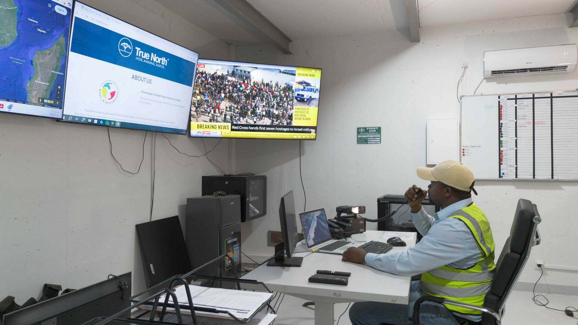
Spatial Services

GIS Portal Login

Precision Geospatial Intelligence for Northern Mozambique

The lay of the land

Picture of Gabriel Van Wyk

Gabriel Van Wyk

A recognized expert in the Australian Spatial Industry, with a long-standing role in strategic consulting for government agencies, zutilities, and corporations.

True North Lda is the principal operating company of the Carpe Diem Group, delivering integrated infrastructure, logistics, geospatial, and operational support services across northern Mozambique. With nearly a decade of uninterrupted operations in some of the region’s most demanding environments, True North enables continuity, safety, and performance where others cannot.

Local knowledge is the foundation of effective operations. Our long-term presence in northern Mozambique gives us a deep understanding of terrain, climate, access constraints, and regulatory context—allowing projects to be planned realistically and delivered efficiently.

Core Capabilities

Bathymetry

High-resolution bathymetric surveys using modern hydrographic systems to support marine construction, environmental studies, and navigational safety.

Aerial Surveys

UAV-based data capture including LiDAR, RGB, and multispectral surveys—providing rapid, accurate coverage over large or inaccessible areas.

Land Surveys

Professional terrestrial survey services delivering control networks, topographic surveys, and construction support.

3D Reality Capture

Integrated LiDAR and photogrammetry workflows producing accurate 3D models, point clouds, and digital twins of complex environments.

GIS & Data

End-to-end GIS solutions including data management, spatial analysis, visualisation, and long-term asset data stewardship.

Industries

Oil & Gas

True North Lda is the principal operating company of the Carpe

Know more →

Mining & Exploration

True North Lda is the principal operating company of the Carpe

Know more →

Infrastructure & Roads

True North Lda is the principal operating company of the Carpe

Know more →

Ports & Marine

True North Lda is the principal operating company of the Carpe

Know more →

Agriculture / Forestry

True North Lda is the principal operating company of the Carpe

Know more →

Environmental & Social Studies

True North Lda is the principal operating company of the Carpe

Know more →

NGOs & Government

True North Lda is the principal operating company of the Carpe

Know more →

Request Quote

Contact Form

Group Advantage

Integrated Security

Operations supported by established security frameworks, enabling safe deployment in challenging environments.
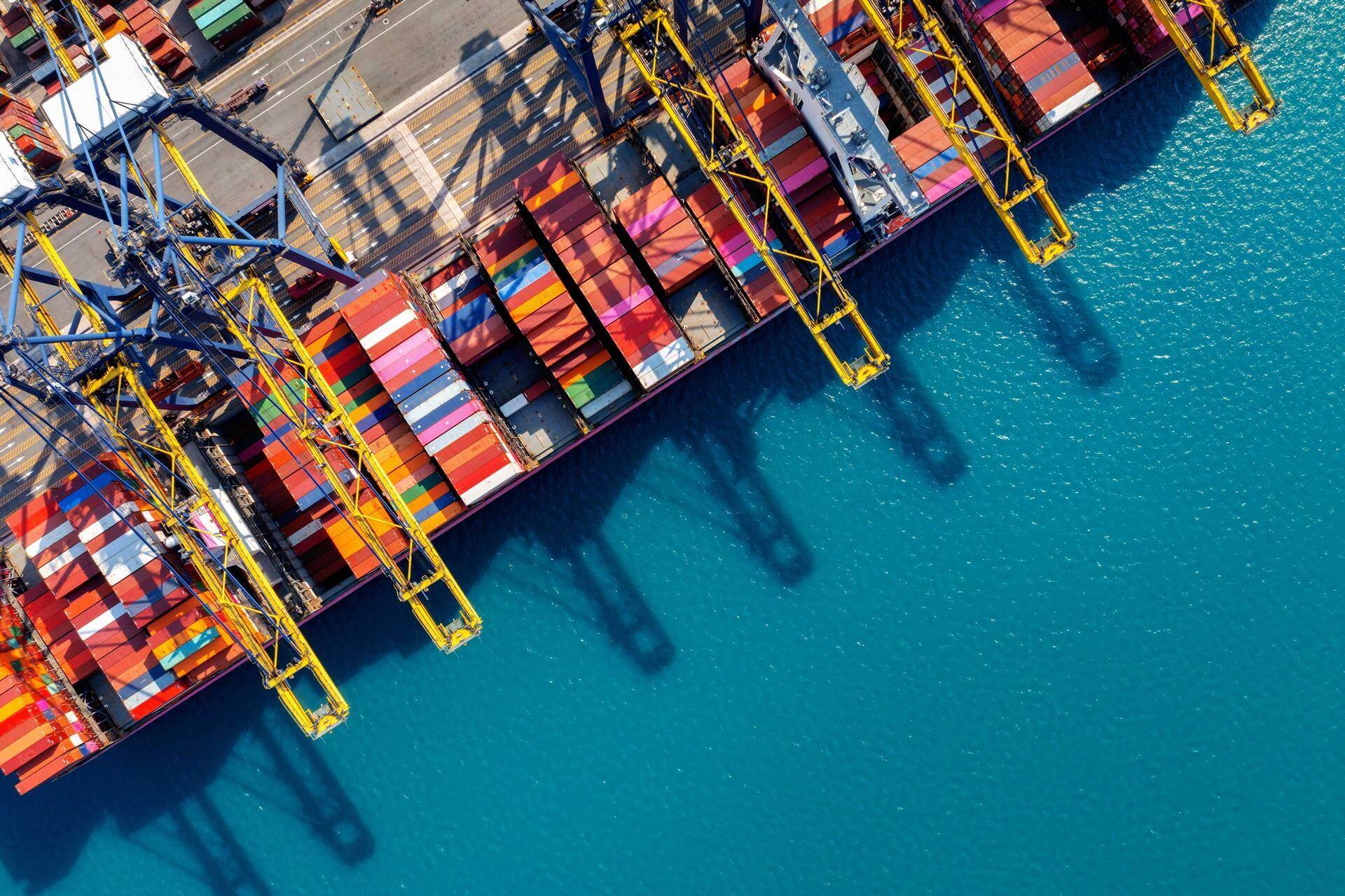
Efficient Logistics

Proven logistics capability ensuring rapid mobilisation reliable resupply, and minimal downtime.

Life Support

Accommodation, catering, and welfare services that sustain teams in remote locations.
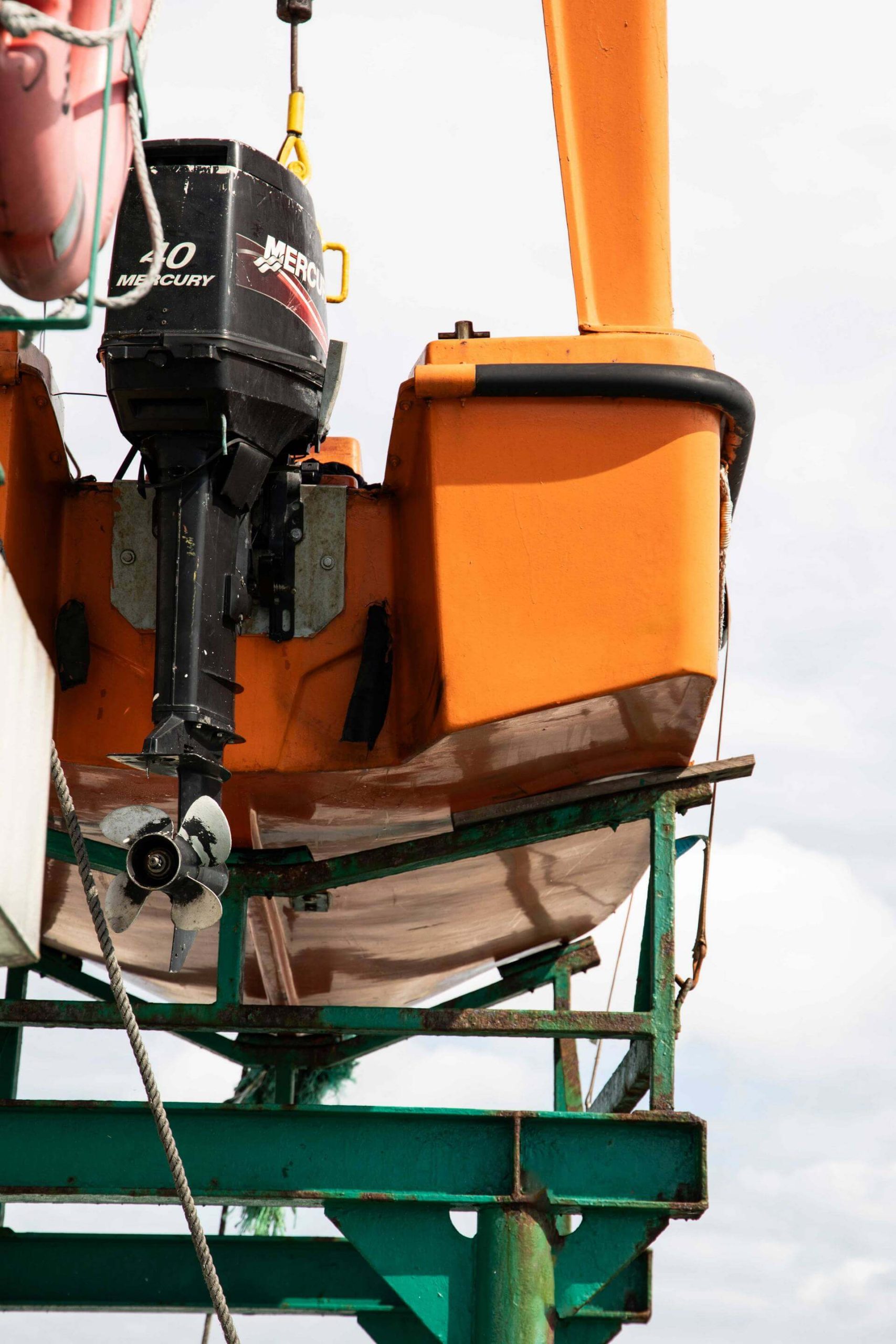
Marine Operations

Dedicated marine capability supporting offshore and near-shore survey and operational activities.

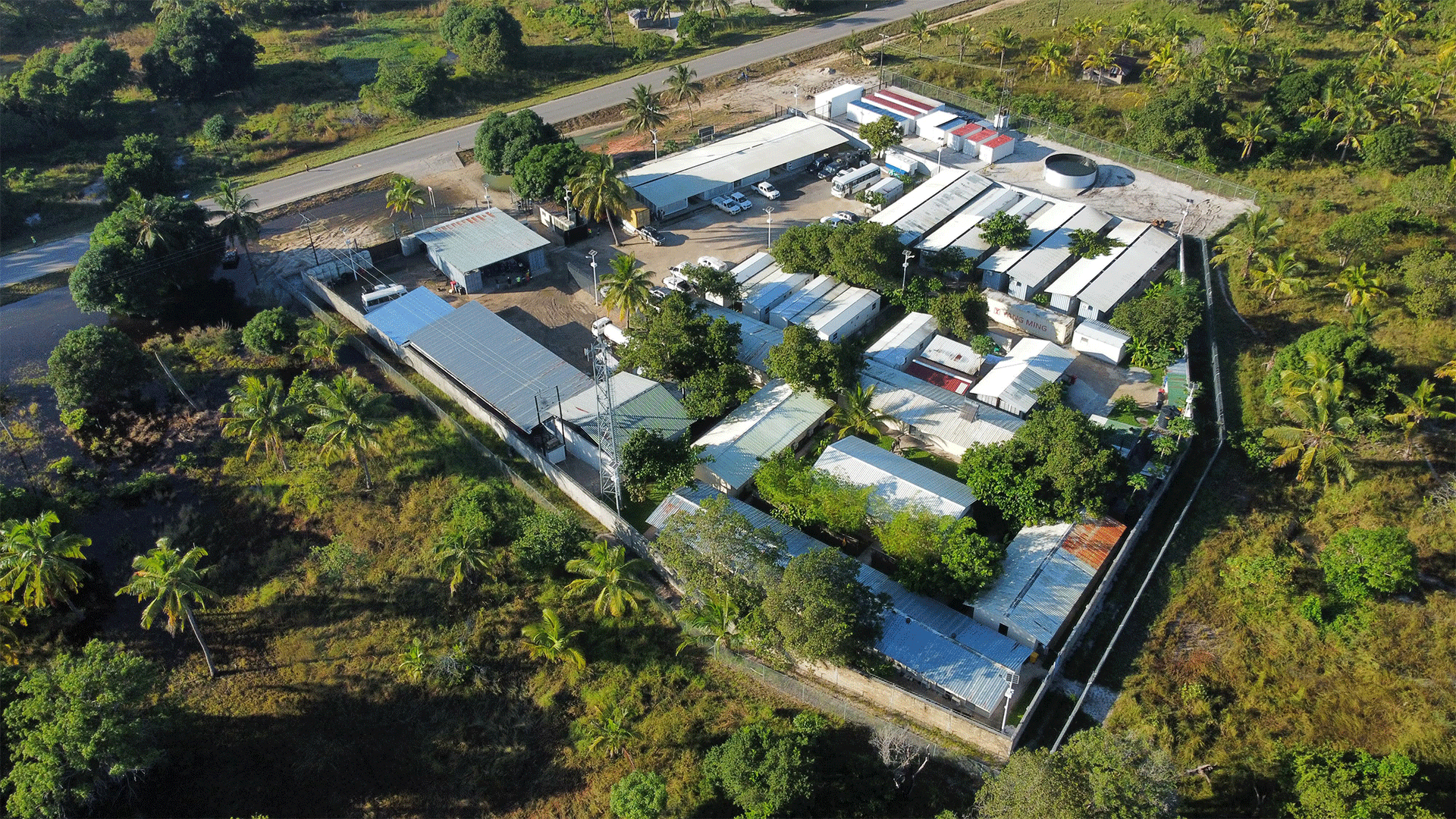
Operational Facilities

We offer a network of secure, functional facilities designed to support logistics, operations, and field activitie.

How we work

1. Consultation & Scope

Clear definition of objectives, constraints, and deliverables.

2. Deployment from Pemba HQ

Rapid mobilisation using established logistics and operational infrastructure.

3. Data Capture (Air/Land/Sea)

Integrated survey operations using the most appropriate platforms.

4. Processing & QA/QC

Rigorous processing and quality assurance aligned with international standards.

5. Deliverables & Client Portal Upload

Secure delivery of data, reports, and spatial products.

6. Ongoing Updates & Change Detection

Repeat surveys and monitoring to support lifecycle management.

Technology Stack

Our technology stack combines industry-leading survey hardware, UAV platforms, processing software, and GIS systems—selected for reliability, accuracy, and performance in remote operating environments. We offer GNSS, Total Station, LiDAR, RGB imagery, an MBES system and more.

Contact Us


    Login

    GIS Portal

    Secure client access to spatial data, deliverables, and ongoing project updates through our online GIS portal.

    Scroll to Top